


15.7 km | 24 km-effort


User


FREE GPS app for hiking
 SityTrail
IGN / Geographical institutes
SityTrail World
The world is yours!
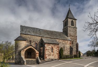
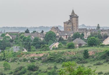
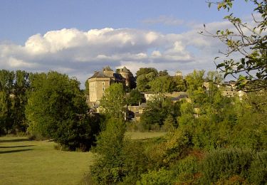
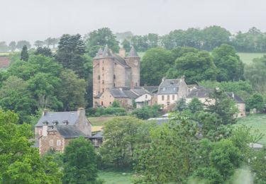
Trail On foot of 8.6 km to be discovered at Occitania, Aveyron, Le Monastère. This trail is proposed by Delahalle.
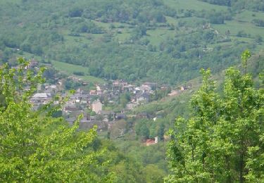
Randonnée sans difficulté particulière avec de belles vues sur RODEZ. Certains chemins ne figurent pas sur la carte IGN mais figurent bel et bien sur le terrain.
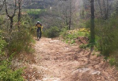
Mountain bike
Mountain bike
Mountain bike

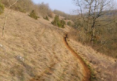
On foot
On foot
On foot
On foot
On foot

On foot